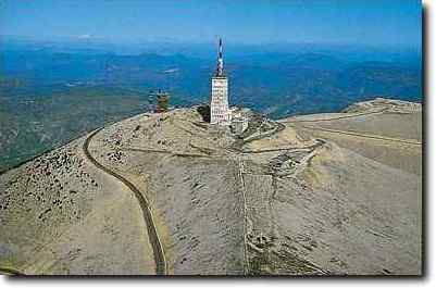
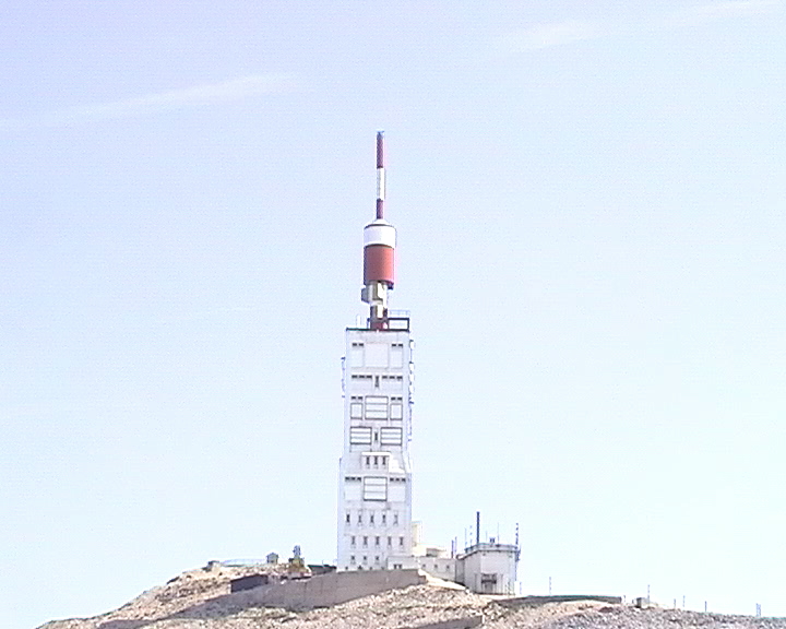
Mont Ventoux (1909m)

Southern side
 |
Bédoin (295m) | Mont Ventoux (1909m) | 21,4 km |
1614m |
7,5 % |
| 2003 | 1h 37mn 45s |
13,1 km/h |
| 2004 | 1h 38mn |
13,1 km/h |
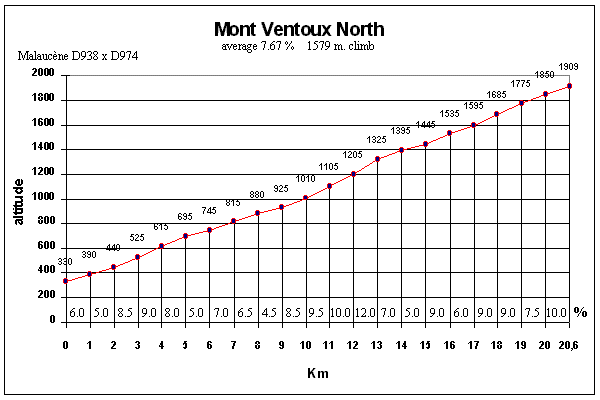
Northern side
|
Malaucčne (340m) | Mont Ventoux (1909m) | 21,1 km |
1569m |
7,4 % |
| 2003 | 1h 34mn 30s |
13,4 km/h |
| 2004 | 1h 36mn |
13,2 km/h |
 |
| Road: |
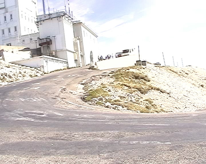
This is the hardest of the three roads, starting with easy slopes,
just for the warm-up, up to Saint-Esteve (6km). |
| Profile (south): |

|
 |
| Start (northern side): Malaucčne (340m). |
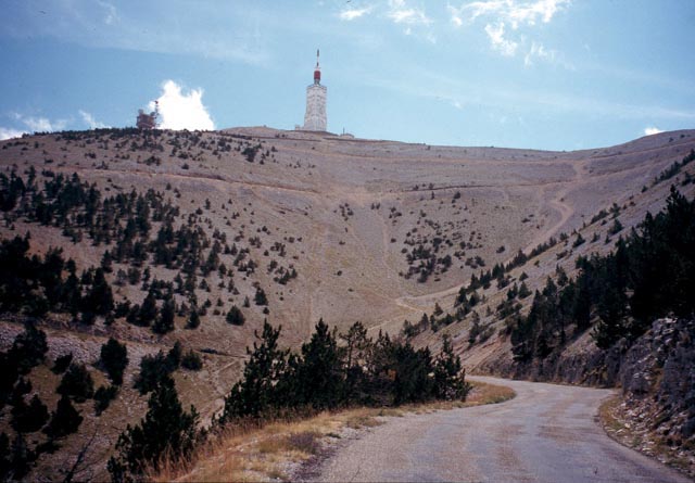
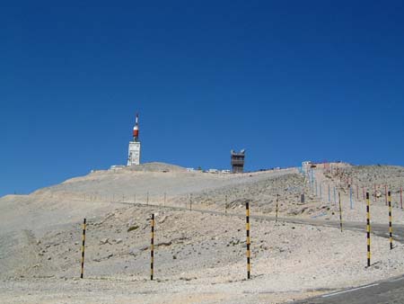
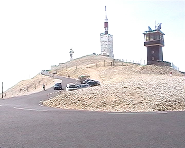
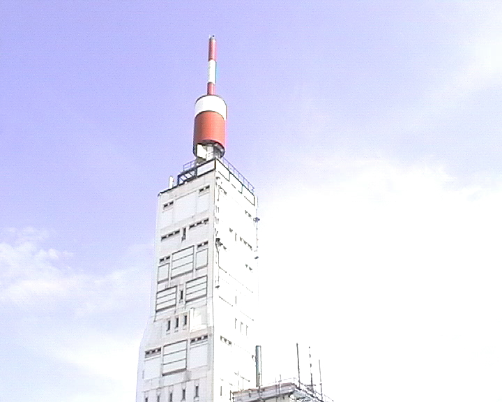
| Parcours: | The northern side is much less regular than the southern one: we start by 2km quite easy, before a short climb (1km) above 10%. Just after, the road is quite pleasant and the slope oscillates between 5 et 8%. At half-way (10km), there is a very difficult climb at 10% during 5km with a long straight line that seems never finish. Then, the road continues without too much difficulty up to Chalet Liotard, in a right hairpin where the road is completely flat. A few meters after, the slope gets steepr again, up to the next left loop. The climb continues in the forest with regular and acceptable percentages, until the trees disappear for letting see the big tower of the top: we are nearly done ! From here, the wind can be an adversary, but the road is better protected than on the southern side. The last km is not the easiest but the view is quite beautiful (by sunny weather !) in the last hairpin. |
| Profile (north): |
|
 |
The western side starts from Sault and joins the southern road at Chalet Reynard. It is the "easiest" way. |
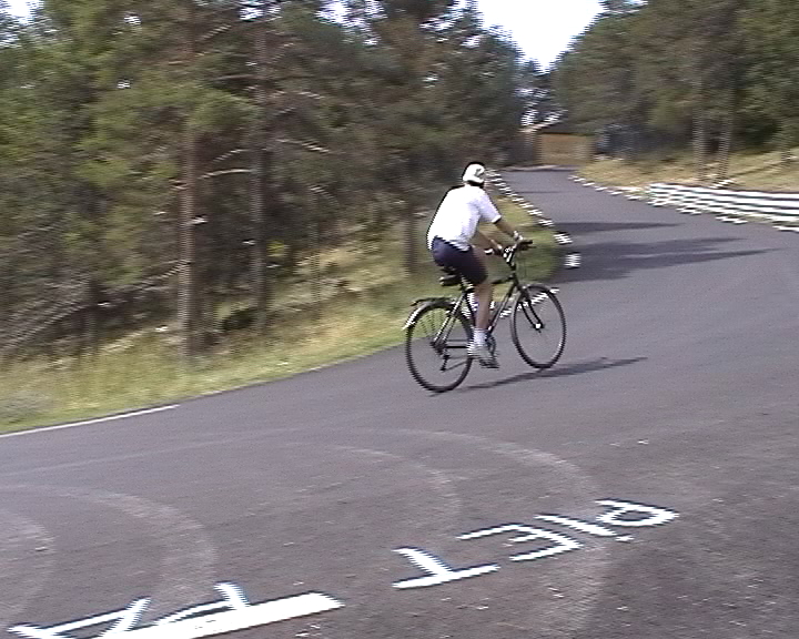
Some pictures...
 |
 |
 |
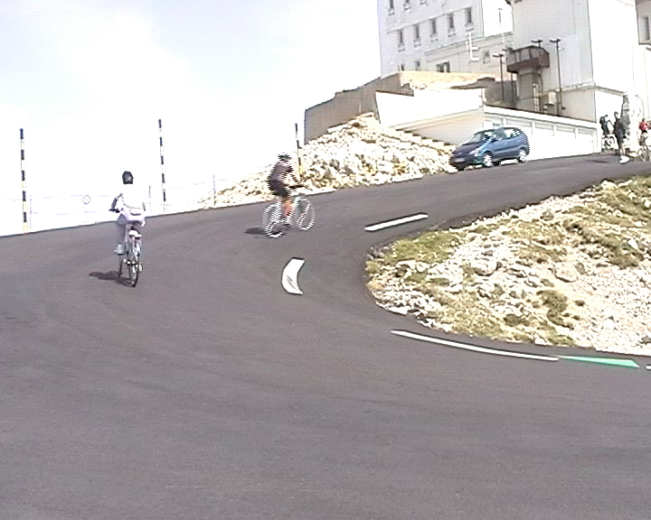
Southern side |
 |
 |
 |
Chalet Reynard |
Southern side |
Specific links: